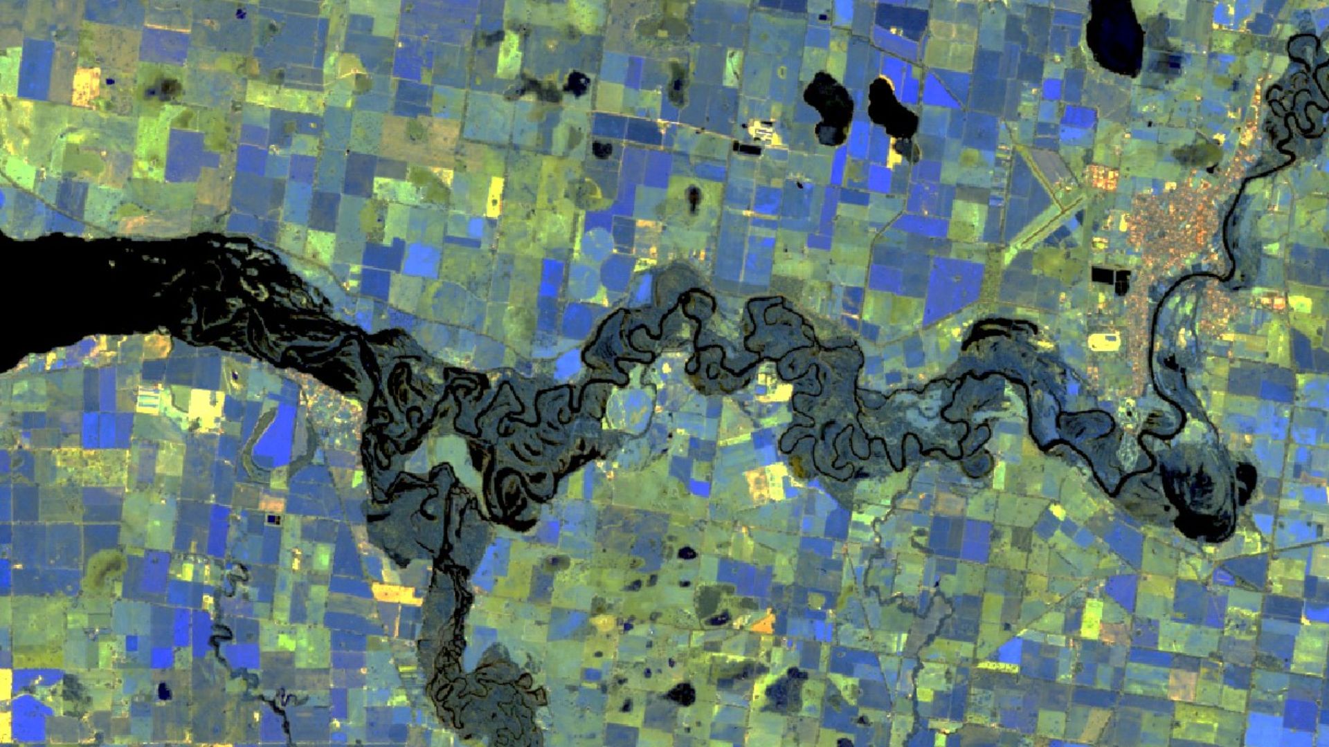
- Geospatial scientists study the relationships between physical locations, people, and earth processes
- Geospatial science offers careers in health, emergency response, crime, national security, natural resource management, ecology and software development
- Geospatial science graduates have growing employment prospects with increasing global career opportunities, given its relevance to society, environment and climate change
A new Charles Sturt University (Charles Sturt) degree in geospatial science will equip graduates with numerous career options.
This includes how to better manage the evolving range of large-scale emergency situations that increasingly afflict communities and societies.
Senior lecturer in spatial sciences and Head of the Charles Sturt School of Environmental Sciences Dr Rachel Whitsed said the Bachelor of Geospatial Science offers graduates rapidly growing employment prospects with increasing global career opportunities.
“A geospatial scientist studies the relationships between physical locations, people, and earth processes, and develops the skills and understanding to make connections between people, places and processes,” Dr Whitsed said.
“Geospatial science offers careers in diverse disciplines such as health, emergency response, crime, national security, natural resource management, and software development.”
Dr Whitsed stressed there is an increasingly important link between geospatial science and emergency management because both disciplines focus on planning, analysis and action, which can be improved by spatial analysis of patterns of human behaviour in a particular location.
“When used correctly, spatial analysis can help emergency responders act to prevent fatalities, injuries and damage, and help communities return to normal as quickly and safely as possible,” she said.
“Geospatial science techniques can play a crucial role in responding to disasters by providing accurate information to decision makers to quickly tackle a disaster and mitigate the impact as much as possible to help the largest number of people, or protect the largest area of land.”
“This includes resources to be sent to the right areas in advance of a known imminent disaster, such as a cyclone or bushfire, and enables emergency response crews to be positioned in the best locations to tackle the aftermath.”
Dr Whitsed emphasised the Bachelor of Geospatial Science is a particularly relevant and topical STEM degree, given its relationship to the environment and climate change.
She also noted three examples of the use of geospatial science to prepare for or manage dramatic and dynamic emergencies:
- Geospatial science is crucial in the preparation for and response to the tropical meteorological phenomena known by three names – cyclones, hurricanes and typhoons – to help emergency responders and volunteers prepare and to rescue people.
- Spatial analysis skills can be used in a wide range of applications, such as how emergency mapping is applied to the analysis of 100-year flood zones to determine, for example, how much productive land will be lost, which roads will be cut off, and which residences will be affected.
- When the New York City Emergency Operations Centre was destroyed when the World Trade Centre collapsed in the 9/11 terror attack, one of the most important tasks immediately after 9/11 was to re-establish the mapping centre to help search and rescue teams by locating damaged buildings, working out access routes, and creating thermal imaging maps showing fires and hotspots at Ground Zero.
Apply to study geospatial science now: https://study.csu.edu.au/start-your-application


Social
Explore the world of social