- Charles Sturt collaborates on research to improve water management across the Murray-Darling Basin
- This research uses LiDAR technology to plan where and how water can be used effectively to sustain wetland ecosystems
- The result is healthier wetland ecosystems, enhanced biodiversity outcomes and more resilient floodplain landscapes
A Charles Sturt University research project is helping to improve environmental water management across the Murray-Darling Basin.
Researchers from Charles Sturt’s Gulbali Institute for Agriculture, Water and Environment are using Light Detection and Ranging (LiDAR) data to generate digital elevation models of floodplain wetlands.
Combined with hydrological modelling and satellite-derived datasets, researchers were able to map wetland depressions, flow paths and inundation extents with exceptional accuracy.
The study was originally developed for wetlands and floodplain systems within the lower and middle Murrumbidgee floodplain, with applications across other regulated river systems in the Murray-Darling Basin.
These areas include some of the most ecologically significant wetland complexes that depend on managed water delivery for their persistence.
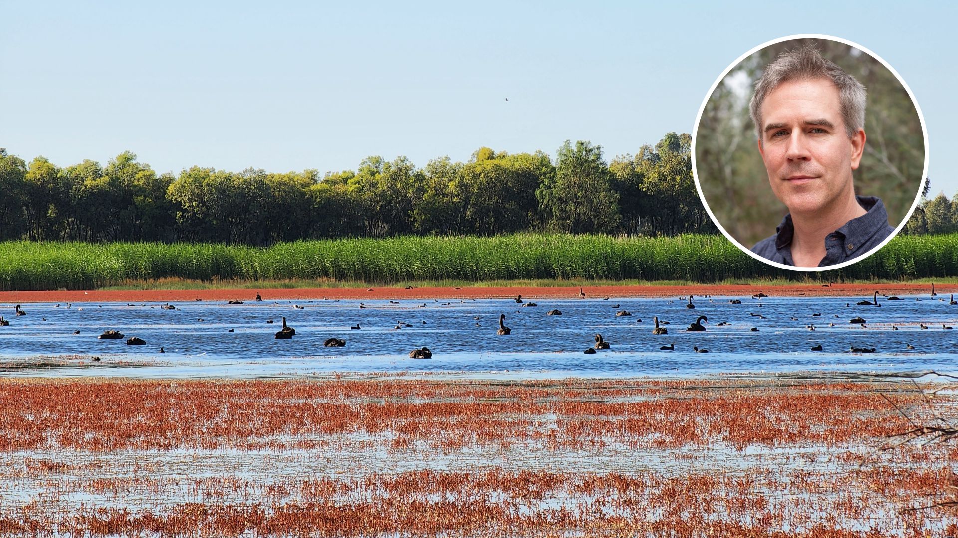
Senior Principal Research Fellow in Geospatial Science with the Gulbali Institute Professor Andrew Hall (pictured, inset) said understanding how water moves through wetlands is key to restoring and maintaining their ecological function.
“By mapping the fine-scale topography of wetlands, we can better understand the pathways and depressions that control how water spreads and recedes across the floodplain,” Professor Hall said.
“This knowledge helps environmental water managers make more informed decisions about how to deliver water to wetlands in ways that maximise ecological benefits.
“It’s a great example of how high-resolution spatial data like LiDAR can be translated into practical tools that support evidence-based management of Australia’s biodiverse wetland ecosystems.”
The research demonstrates how cutting-edge geospatial science and remote sensing can be applied to real-world environmental challenges.
Professor Hall said the research demonstrates Charles Sturt’s role in delivering applied, data-driven research that supports the long-term recovery and resilience of wetland ecosystems.
By improving the effectiveness of environmental water programs, the project contributes to healthier wetland ecosystems, enhanced biodiversity outcomes and more resilient floodplain landscapes.
This project is a collaboration between Charles Sturt, the NSW Department of Climate Change, Energy, the Environment and Water, and the Commonwealth Environmental Water Office.


Social
Explore the world of social